Vector topology methods
topology.RdmakeNodes create nodes on lines
mergeLines connect lines to form polygons
removeDupNodes removes duplicate nodes in geometries and optionally rounds the coordinates
emptyGeoms returns the indices of empty (null) geometries. is.na also checks if any of the coordinates is NA.
snap makes boundaries of geometries identical if they are very close to each other. The tolerance is expressed in the coordinate reference system's units: meters (or feet, etc.) for projected data, and degrees for lon/lat data. To snap lon/lat geometries with a tolerance expressed in meters, project the data to a metric CRS first with project, snap, then project back. simplifyGeom uses the same convention.
Usage
# S4 method for class 'SpatVector'
mergeLines(x)
# S4 method for class 'SpatVector'
snap(x, y=NULL, tolerance)
# S4 method for class 'SpatVector'
removeDupNodes(x, digits = -1)
# S4 method for class 'SpatVector'
makeNodes(x)
Arguments
- x
SpatVector of lines or polygons
- y
SpatVector of lines or polygons to snap to. If
NULLsnapping is to the other geometries inx- tolerance
numeric. Snapping tolerance, expressed in the units of the CRS of
x(i.e. meters or feet for projected data, degrees for lon/lat data). One degree of latitude is approximately 111 km.- digits
numeric. Number of digits used in rounding. Ignored if < 0
Examples
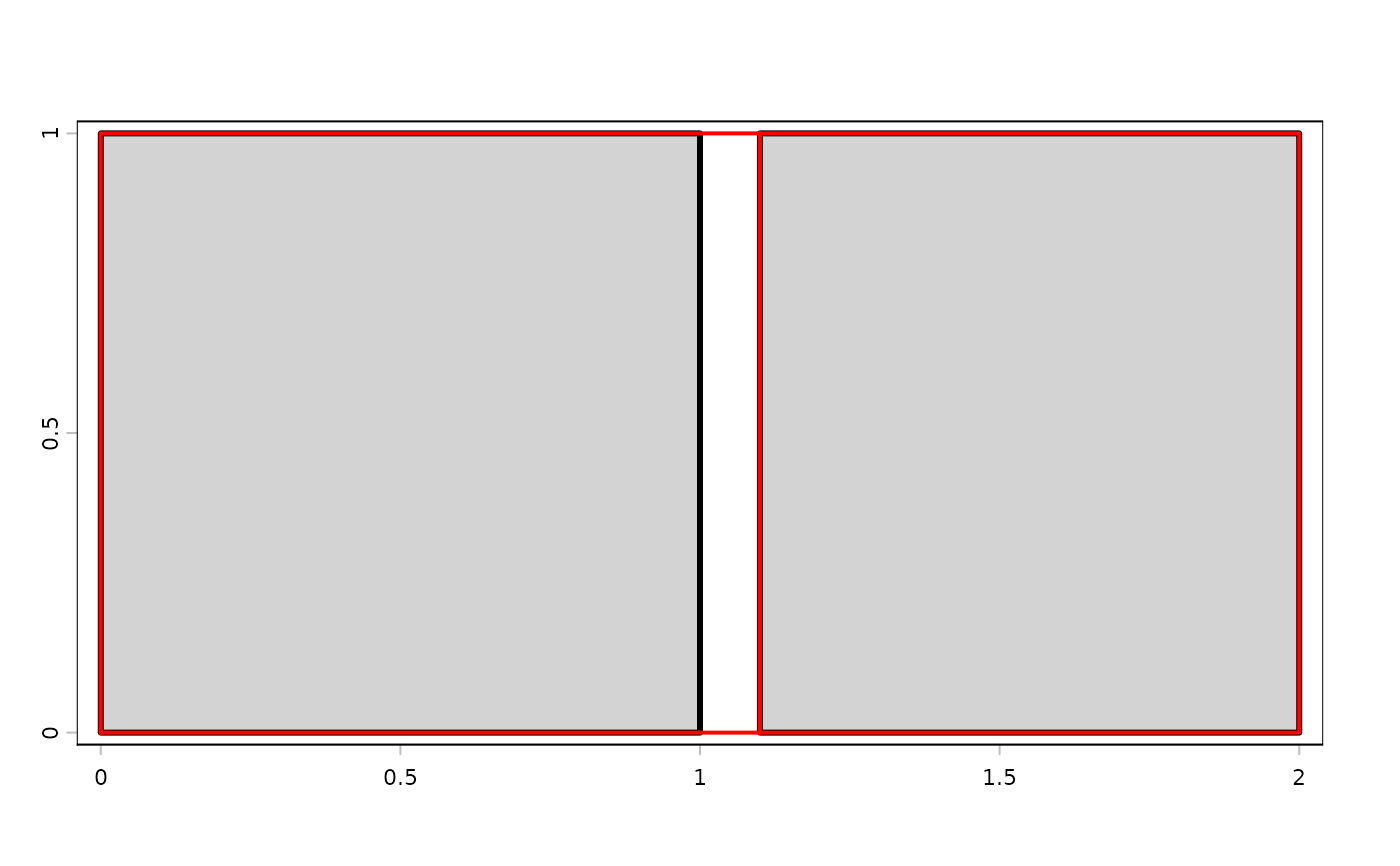
p1 <- as.polygons(ext(0,1,0,1))
p2 <- as.polygons(ext(1.1,2,0,1))

p <- rbind(p1, p2)

y <- snap(p, tol=.15)
plot(p, lwd=3, col="light gray")
lines(y, col="red", lwd=2)