Create a buffer around vector geometries or raster patches
buffer.RdCalculate a buffer around all cells that are not NA in a SpatRaster, or around the geometries of a SpatVector.
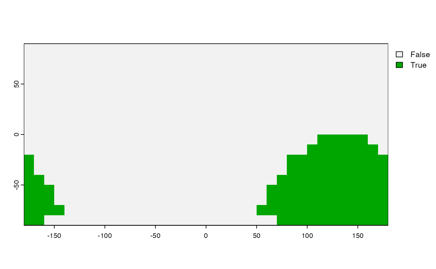
SpatRaster cells inside the buffer distance get a value of 1.
Note that the distance unit of the buffer width parameter is meters if the CRS is (+proj=longlat), and in map units (typically also meters) if not.
If your data has a longitude/latitude CRS do not project them to a planar CRS because that makes the results less precise (see Examples).
Usage
# S4 method for class 'SpatRaster'
buffer(x, width, background=0, include=TRUE, filename="", ...)

# S4 method for class 'SpatVector'
buffer(x, width, quadsegs=10, capstyle="round",
    joinstyle="round", mitrelimit=NA, singlesided=FALSE)
Arguments
- x
SpatRaster or SpatVector
- width
numeric. Unit is meter if
xhas a longitude/latitude CRS, or in the units of the coordinate reference system in other cases (typically also meter). The value should be > 0 ifxis a SpatRaster. Ifxis a SpatVector, this argument is vectorized, meaning that you can provide a different value for each geometry inx; and you can also use the name of a variable inxthat has the widths- filename
character. Output filename
- ...
additional arguments for writing files as in
writeRaster- background
numeric. value to assign to cells outside the buffer. If this value is zero or FALSE, a boolean SpatRaster is returned
- include
logical. If
TRUEthe raster cells that are notNAare included in the buffer. Otherwise these cells get the background value- quadsegs
positive integer. Number of line segments to use to draw a quart circle
- capstyle
character. One of "round", "square" or "flat". Ignored if
is.lonlat(x)- joinstyle
character. One of "round", "mitre" or "bevel". Ignored if
is.lonlat(x)- mitrelimit
numeric. Place an upper bound on a mitre join to avoid it from extending very far from acute angles in the input geometry. Ignored if
is.lonlat(x)- singlesided
logical. If
TRUEa buffer is constructed on only one side of each input line. Ignored ifis.lonlat(x)


